Ice From Space-The Satellite View
Note: February14, 2020: The Burlington office of NOAA has been putting up MUCH higher resolution pictures. The resolution looks to be about 1.5 meters: over 100 times better. Click here to see the new images, Look at the bottom of the page.
MODUS is still very useful if you do not have axcess to to something else.
Back to the origonal page:
The National Weather Service in Burlington, VT has been posting satellite pictures of the Lake Champlain area for the past few winters. They only post them when it is cloud free enough to have a decent view of the lake. It is a great way to get a sense of the extent of the ice on our big lake.
The best resolution is 250 meters. If something has a high contrast with its surroundings and occupies the enough of the 250m x 250m pixel it will show up (albeit as a tiny dot). Water is usually black. New ice can be black or a little gray and can show some texture (ridges/leads/snow-catch bands). Ice is most visible when it is solid white from a compete snow cover. Obviously it gives no clue about ice thickness, most holes, leads and ridges or degree of thaw. If you look up the weather history you can factor in snow falling on the ice or melting in a warm spell. As always, being on the ice is the only way to really tell what the ice condition is.
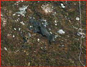
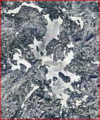 Moosehead Lake, Maine Jan 9, 2013
The images come from two NASA satellites: Terra and Aqua. They are in circular, near polar orbits that photograph the earth from 705 km. They each have a MODIS (Moderate Resolution Imaging Spectrophotometer) with, for our purposes, amounts to a very fancy camera. The posted pictures are usually taken around mid-day. Many days are too cloudy to be of any use. The images go back to 2007.
The University of Wisconsin puts up available images for the whole country late in the day. They can be found at: http://ge.ssec.wisc.edu/modis-today/ . Or google 'modis today'.
OR
Click here for an even better world view and easier way to get around (take the tutorial)
How to get around on the site: On the main page, click the place on the image that is of interest. That will take you to one of 8 sections of the country.
The following is a screen capture of the controls portion of the regional page.
On the top line you can pick the satellite (Terra is generally a better choice) and the day of interest. Check both the 'coastline' and 'state boarders' as this makes it easier to find yourself.
On the second line, click the 250 m button if your area of interest is not covered by clouds. It can be a bit tricky to find what you are looking for in the much larger image. Looking at google maps in satellite view is helpful for finding identifying features. The eight USA1 to USA8 links are to different parts of the country
The following is an example of a couple good quality images from the Wisconsin and a comparison of a Modis view in New Hampshire with the google maps view.
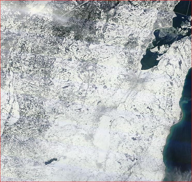
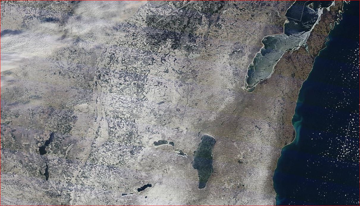 Green Bay and Oshkosh WI. (Lake Winnebago) January 14, 2013. Note: the scales on these pictures are all different.
 Green Bay and Lake Winnebago, January 8, 2013
 Modis view of Lake Winnipesaukee in New Hampshire on April 15, 2011.
 Google Maps image on April 15, 2011 of part of Lake Winnipesaukee
Bob
1) Click here for the NOAA Lake Champlain pictures for the current winter (near the bottom of the page)
